Haharaha River
The Wind-Up Bird ChronicleThe Khalkha River is a contested boundary in the wilderness between Manchukuo and Outer Mongolia, and the site of a covert crossing that exposes Lieutenant Mamiya’s escort mission to political and military danger. In his recollection, the river is at once a physical obstacle, a concealed route into enemy territory, and a vantage point from which the future Battle of Nomonhan can be understood.
Frontier and Strategic Setting
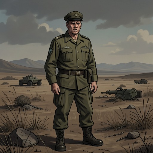
Lieutenant Mamiya’s assignment combined escort duty with topographical work along Manchukuo’s western border near the Khalkha River. The available maps of the Hulunbuir Steppe were crude, while the immense, sparsely marked terrain offered few landmarks for checking them. The Kwantung Army wanted more accurate maps but kept the border’s official definition indefinite: both the Soviet Union and Outer Mongolia were sensitive to incursions, and the army, committed to the war in China, had little capacity for a major conflict with the Soviets.
That uncertainty was not merely administrative. If war came, the army would need combat maps detailed enough to plan encampments, artillery positions, marching times, water supplies, and horse fodder. Mamiya’s mapping work therefore overlapped with military intelligence, even as the army’s public posture deferred settling the frontier. The river marked a line that was politically explosive but not always physically secure.
The Secret Crossing
After the party travelled south along the swollen river, Yamamoto told Mamiya that they would cross before dawn into Outer Mongolian territory. Mamiya objected that the crossing would be an unmistakable border violation: if captured on the far bank, the party would have no plausible justification, and their presence could provoke a political crisis. The spring snowmelt also made the river dangerously high and cold. Yamamoto said that the mission had approval from the army’s highest levels and that he would assume responsibility.
The crossing point was a concealed plank bridge held by ropes beneath the fast current, likely constructed by the Outer Mongolian Army. It was difficult to detect from the surface and could, when water levels fell, accommodate military vehicles. Yamamoto crossed first to check for patrols; Mamiya and the others followed by holding to the ropes, with their horses crossing too. From the higher far bank, they could look back across the desert. The difference in elevation later mattered to Mamiya’s understanding of the Battle of Nomonhan: it gave the Soviet side an advantage and affected the accuracy of artillery fire.
The party continued south with the river below them. Yamamoto ordered them to remove their rank insignia, and Mamiya also changed out of his officer’s boots. The precautions made the character of the journey plain: they were no longer travelling openly as a Japanese military escort, but moving through territory where discovery could have grave consequences.
The River as a Military Threshold
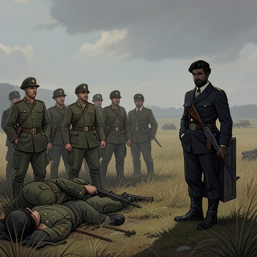
At a later return to the ford, Mamiya and Yamamoto found an Outer Mongolian detachment of eight men guarding it. The patrol had a light machine gun and a heavy machine gun positioned toward the river, and its camp and horses showed that it was prepared to remain there. Yamamoto rejected the possibility of using another ford because it lay two days away; the party would have to cross at this point. The river’s hidden route had enabled their earlier passage, but the guarded crossing now turned it into a point of confrontation and a constraint on their return.
Across these episodes, the Khalkha River’s strategic importance comes from the way geography and secrecy intersect. Its concealed ford allowed movement across a disputed frontier, while the surrounding terrain and elevation shaped the military balance. The river thus connects Mamiya’s dangerous personal experience to the larger conflict that the uncertain border was capable of producing.
Historical Echoes
The river’s military setting belongs to a wider account of imperial planning and wartime collapse. Japan’s army recognized that its maps and winter preparations were inadequate for a possible conflict with the Soviet Union; an earlier research program examined cold-weather equipment and estimated that frostbite could disable much of the front-line infantry. The Khalkha frontier likewise shows the limits of military knowledge: the army needed precise operational information but had left the border’s status unresolved.
In the later history Mamiya recounts, the Kwantung Army’s resources were depleted by the expanding war, leaving Manchukuo exposed when Soviet forces advanced. This retrospective context makes the river more than the setting for a clandestine crossing. It is one point where the book’s account joins tactical geography, imperial uncertainty, and the consequences of decisions made by military institutions.